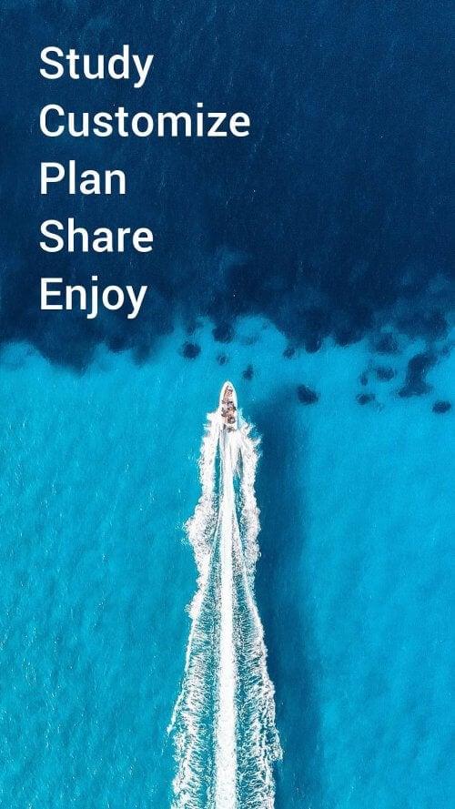
Application Description
Features of Navionics® Boating:
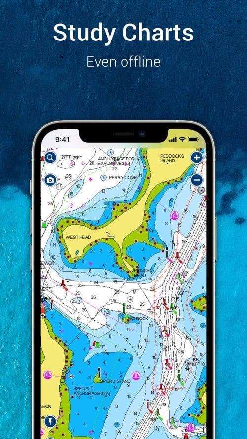
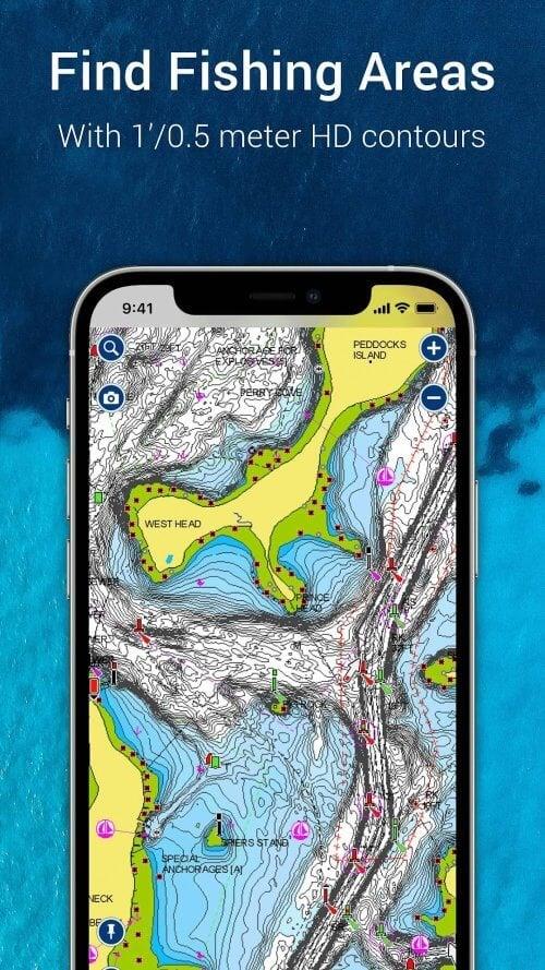
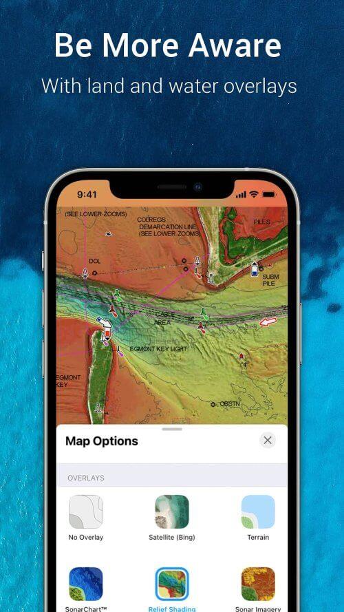
World-class Navionics charts: Equip yourself with the latest Navionics charts, which include overlays, nautical charts, and SonarChart HD bathymetry maps. These charts are crucial for safe and efficient navigation, offering detailed data to guide your journey.
Active and helpful community: Join a vibrant community of boaters who share their local insights, favorite spots, and navigation tips. Connect with friends and fellow enthusiasts to share your current location, tracks, routes, and markers, fostering a collaborative environment on the water.
External device-friendly for more features: The app integrates seamlessly with chartplotters, allowing for easy transfer of routes and markers. Utilize SonarChart Live Mapping to create real-time maps as you navigate. Connect an AIS receiver via Wi-Fi to monitor nearby maritime traffic and stay alerted to potential collision risks.
Daily updates: Stay ahead with daily updates that keep your charts and data current. From changes in seabed topography to updates on navigation aids and maritime services, you'll always have the most accurate information at your fingertips for a safer and more enjoyable boating experience.
Conclusion:
Navionics® Boating is an indispensable tool for anyone who spends time on the water. Its comprehensive Navionics charts provide the detailed information you need to navigate confidently. The app's dynamic community connects you with other water enthusiasts, enhancing your boating experience with shared knowledge and real-time updates. Compatibility with external devices like chartplotters and AIS receivers expands your capabilities, while daily updates ensure you're always equipped with the latest data. Download Navionics® Boating now to transform your boating adventures into more informed, enjoyable, and safe journeys.
Screenshot
Reviews
Apps like Navionics® Boating


Trending apps


Top News

![Roblox Forsaken Characters Tier List [UPDATED] (2025)](https://images.dyk8.com/uploads/18/17380116246797f3e8a8a39.jpg)


Latest Apps