

Application Description
Effortlessly manage KML, KMZ, and GPX files. GIS tools, measuring, GPS logging, WMS support, and offline maps.
Thank you for using Mapinr. The rapid evolution of Android versions poses a challenge for non-profit projects like ours. However, we remain committed to keeping this project alive, pursuing our vision of delivering a secure, privacy-focused, and affordable application.
We acknowledge that Google's requirements mandate a minimum Android version unsupported by many older devices. For these users, we offer downloads for previous Android versions (below Android 14) directly on our website, as they are no longer available on the Play Store.
Do you need to view and manage your personal points of interest? Are you looking for an app to geo-tag your photos on a map?
MAPinr is a straightforward, ad-free Android app for managing KML/KMZ files and displaying GPX data on various map types. It's ideal for professional use as well as outdoor activities like hiking, cycling, running, and skiing.
We welcome your feedback and ideas for improving MAPinr at [email protected]. If a feature you expected is missing, please share your thoughts with us via email instead of leaving harsh comments. We understand software issues can be frustrating, and we ask for your patience, as our limited resources mean we cannot implement every suggestion.
MAPinr provides the following functionality:
1. Completely ad-free
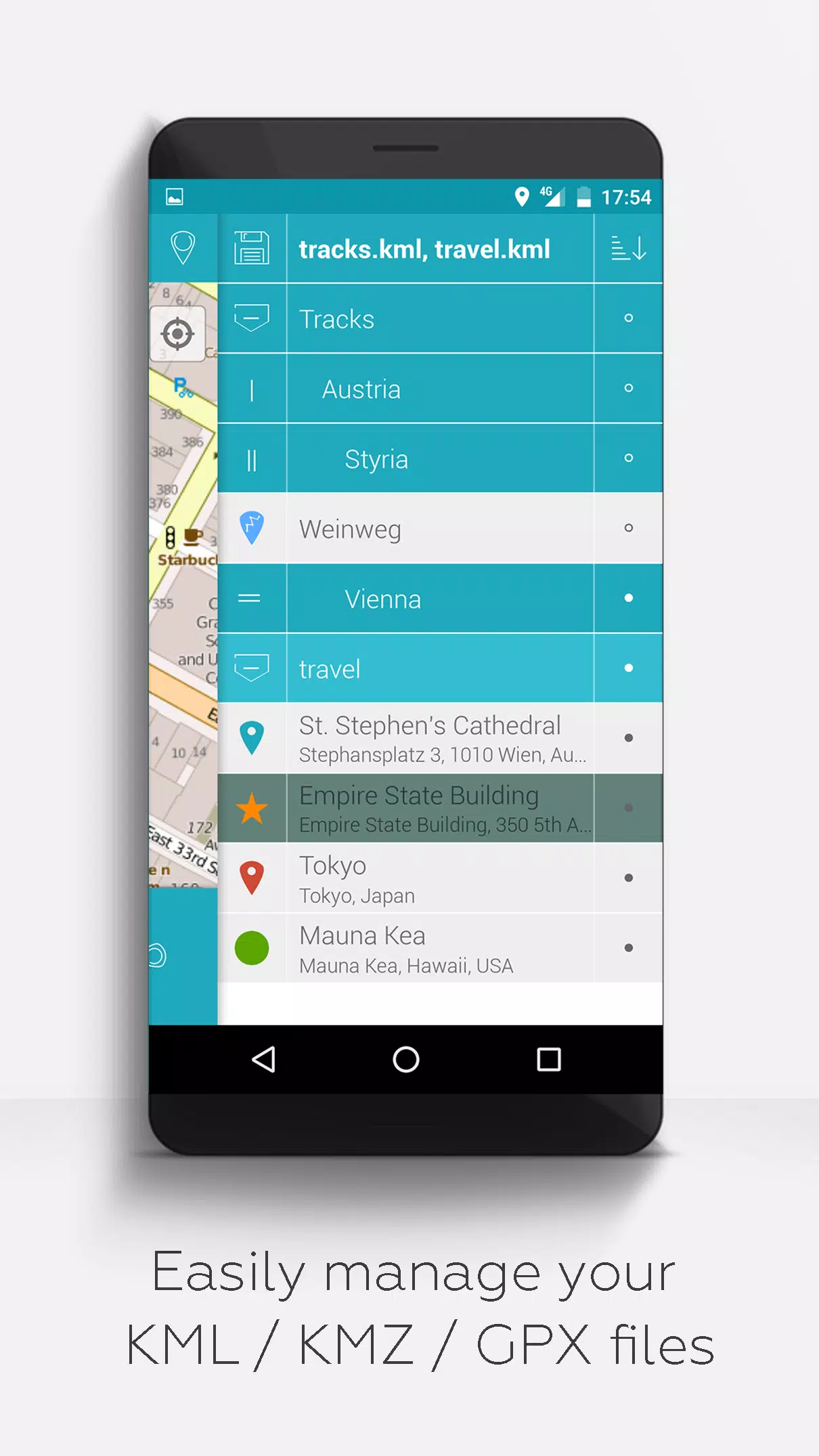
2. Hierarchical folder structure for organizing multiple KML/KMZ/GPX files
3. Create, load, edit, save, import, export, and share KML/KMZ files
4. Create, load, edit, save, import, export, and share waypoints, lines/tracks, and polygons
5. Attach photos to waypoints to create photo maps
6. Display waypoints, lines/tracks, and polygons on various map layers (Map, Satellite, Hybrid, OpenStreetMap, OpenTopoMap, OpenCycleMap)
7. Share waypoint coordinates
8. Customize colors for waypoints, lines/tracks, and polygons individually
9. Open exported KML/KMZ files in other applications
10. Search by name, address, or coordinates
11. Live location sharing to keep friends updated on your whereabouts
12. Display multiple KML/KMZ/GPX files simultaneously
13. Merge KML/KMZ files
14. Cloud integration
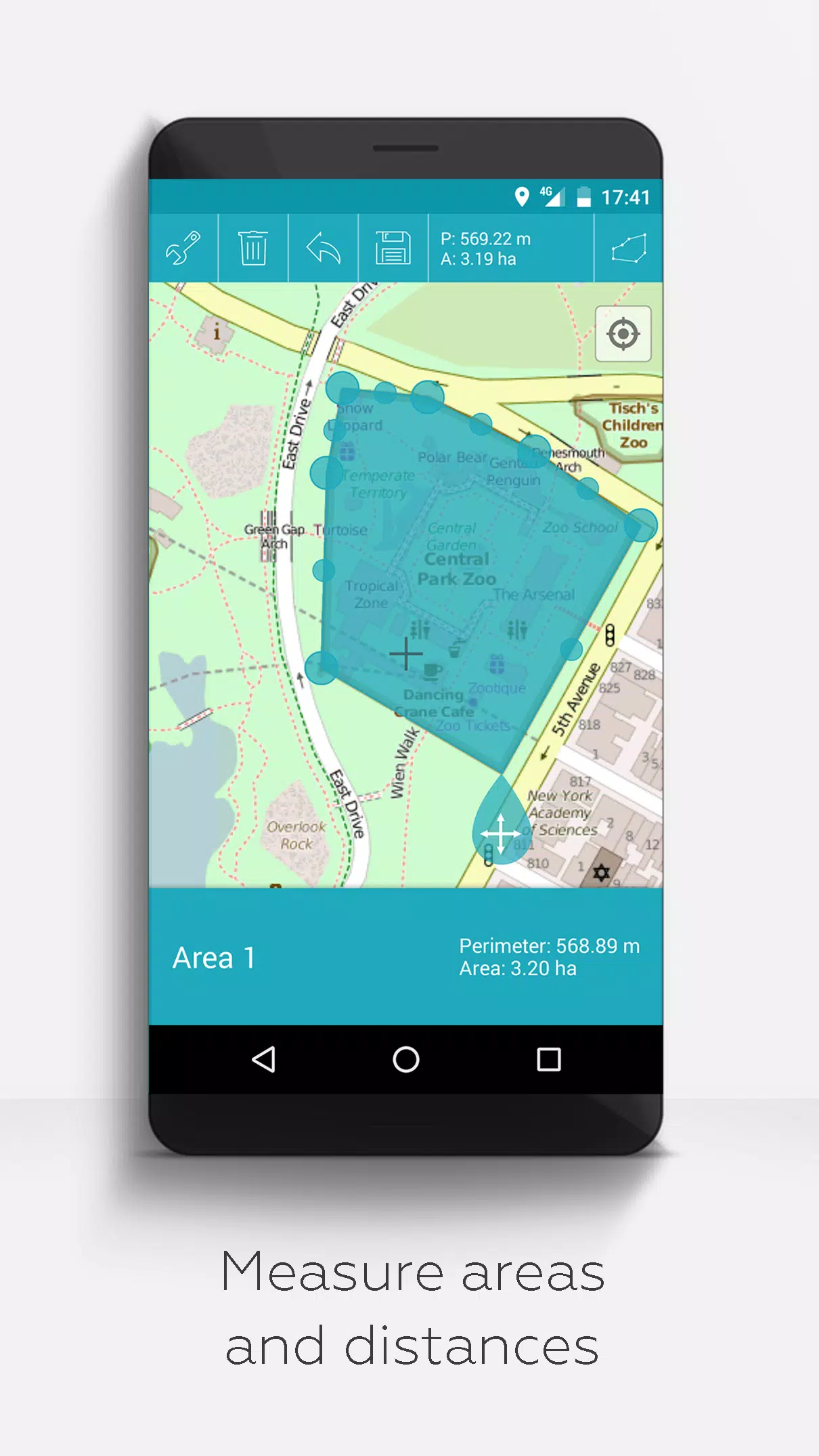
15. Measure distances and areas directly on the map
16. Multilingual support (currently English, Spanish, Lithuanian, Polish)
Extended features (Activate for free in Settings with a donation or a like on LinkedIn):
1. Free map downloads / Offline maps (OpenStreetMap)
2. GPX viewer (display GPX files only)
3. Display custom map data using Web Map Service (WMS), such as open data from www.data.gov
4. Create custom metadata
5. Upload and use custom icons
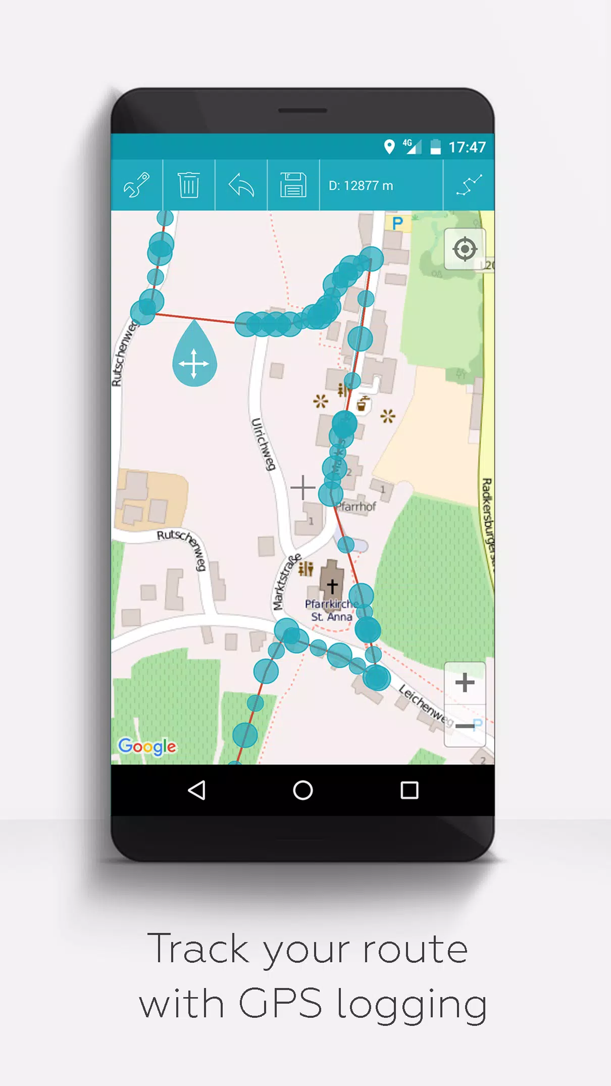
6. Record GPS tracks
Unlike many similar apps, MAPinr does not collect or sell your private data. Donations are voluntary contributions supporting our non-profit work.
Screenshot
Reviews
Apps like MAPinr - KML/KMZ/OFFLINE/GIS













Trending apps








Top News

![Roblox Forsaken Characters Tier List [UPDATED] (2025)](https://images.dyk8.com/uploads/18/17380116246797f3e8a8a39.jpg)





Latest Apps






Latest Articles